rareoldprints.com


Search

If you know the reference number
enter it here:


If you enter more than one word
it will be treated as phrase.

Insert "and" or "or" between words to search for the words in any order.

Refine your search here or build another search.
Displaying 0 to 7 of 7 - -
96%
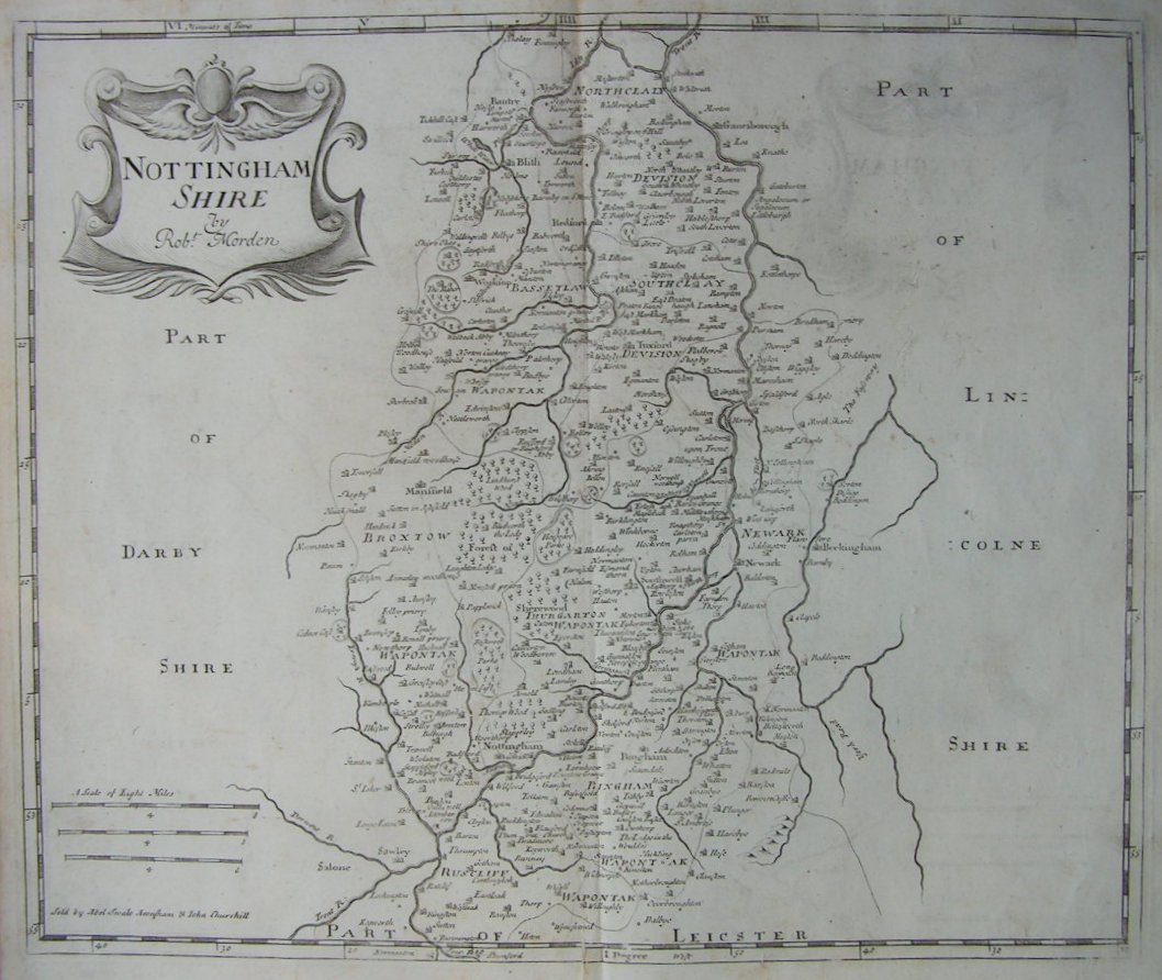
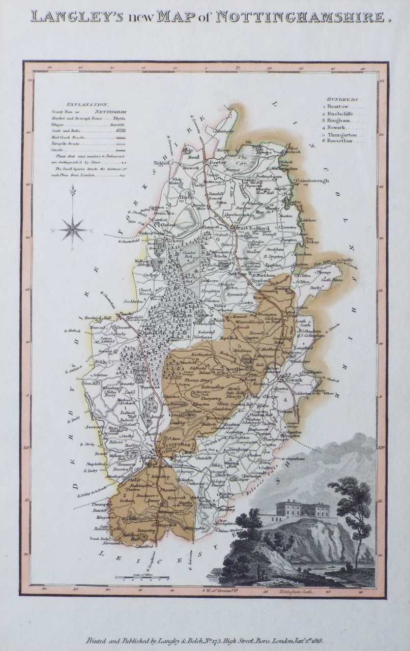
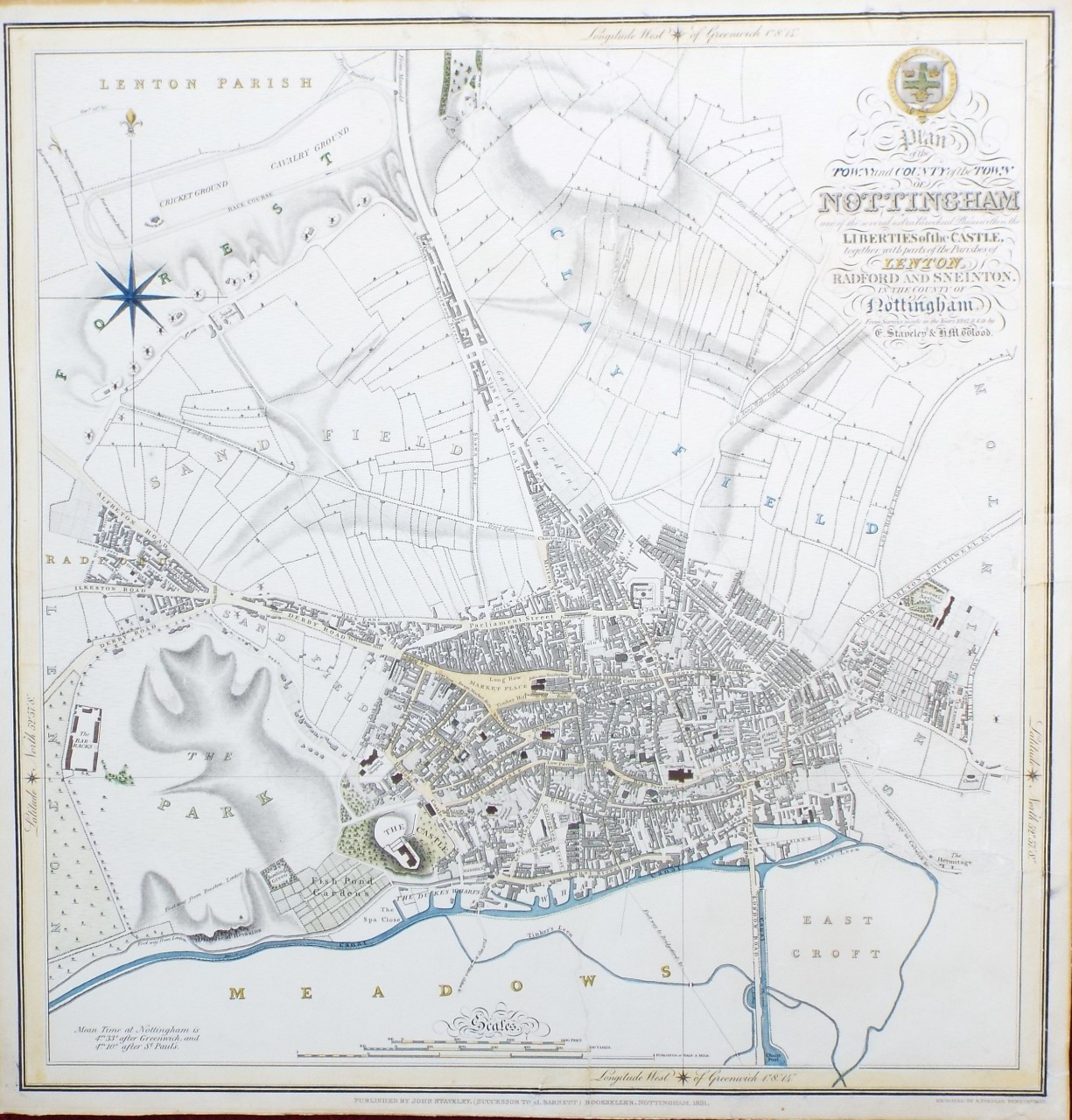
Plan of the Town and County of the Town of Nottingham and of the several extra Parochial Places within the Liberties of the Castle, together with parts of the Parishes of Lenton, Radford and Sneinton.In the County of Nottingham. From surveys made in the Years 1827, 8 & 9, by C. Staveley & H. M. Wood.
Ref: P/31705
Region: Nottingham
Type: Copper
Cartographer: Staveley & Wood
Engraver: Findlay A
Publisher: John Staveley.
Date: 1831

96%
Bacon's Plan of Nottingham
Ref: P/23576
Region: Nottingham
Type: Chromo-lithograph
Publisher: G. W. Bacon & Co Ltd

88%
Nottingham Shire Drawn from the best Authorities
Ref: P/25051
Region: Nottinghamshire
Type: Copper
Engraver: Kitchin T
Date: 1786

88%
Nottingham Shire
Ref: P/12793
Region: Nottinghamshire
Type: Copper

88%
Nottingham Shire
Ref: P/3243
Region: Nottinghamshire
Type: Copper
Cartographer: Morden R
Publisher: Abel Swale Awnsham & John Churchill

87%
Map of Swindon District
Ref: P/33403
Region: Swindon
Type: Lithograph
Publisher: J. W. Harding & Co. Nottingham

87%
Langley's new Map of Nottinghamshire.
Ref: P/32379
Region: Nottinghamshire
Type: Copper
Publisher:  Langley & Belch, No. 173, High Street, Borough, London
Date: 1818


Displaying 0 to 7 of 7